

The City of Dover uses Geographic Information Systems (GIS) in many ways, such as managing city assets, emergency dispatching, property record management, and managing work orders.
The City also utilizes GIS to help residents and property owners know their trash and recycling pickup day, where to vote, what zoning they live in and who their City Councilor is.
Applications
Dover Property information
The City of Dover uses GIS mapping to provide property-specific information, which includes a public a wealth of information, such as ward boundaries and polling places, elementary school boundaries and locations, property data, aerial photos, soil information, conservation and recreation areas, and FEMA flood zones, to name a few. After opening the map, click on the "Themes" menu at the top of the map to view different selections, such as Wards and Polling Places. Click the "Markup" menu to draw on top of maps.
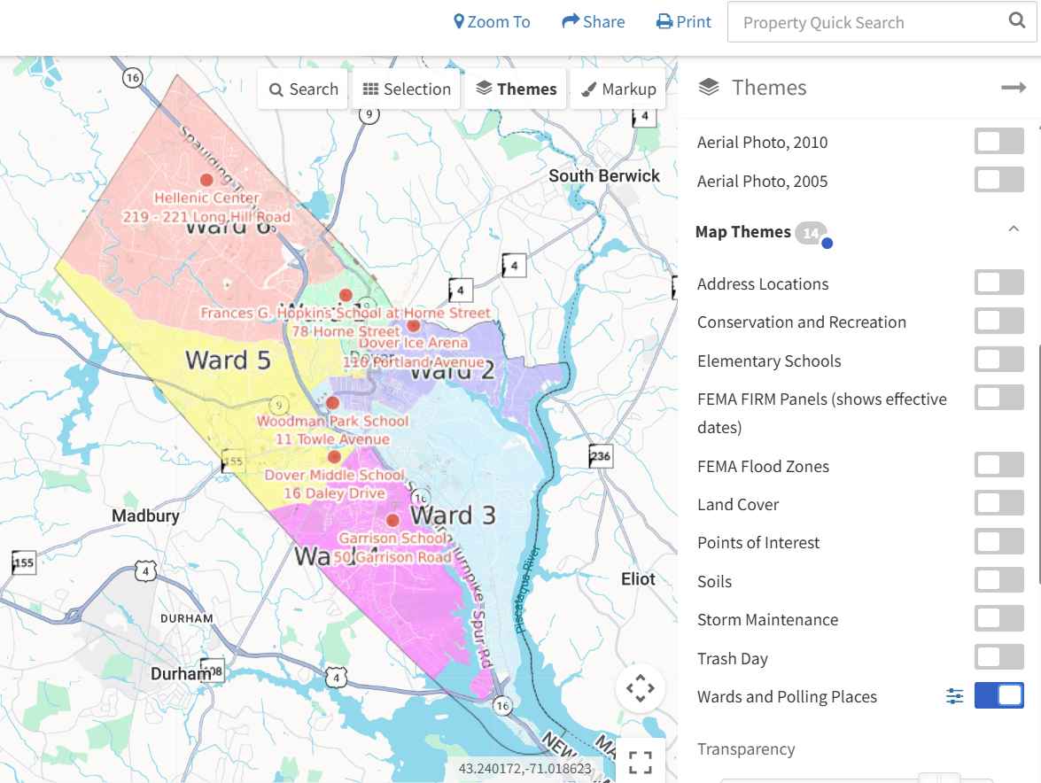
Click on image to open map
Dover Public GIS Data
The City of Dover also utilizes GIS data to map a variety of public information, including parking lot locations, municipal facility locations, pavement conditions, and health inspection data for restaurants and facilities that serve food. Visit the public portal to view map options.
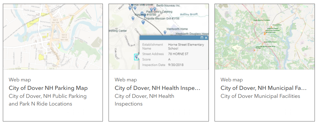
Click on image to open map
NH GRANIT
New Hampshire's statewide GIS clearinghouse
The City of Dover is a partner agency in the cooperative project to create, maintain and make available a statewide geographic database called the New Hampshire Geographically Referenced Analysis and Information Transfer System, or NH GRANIT.
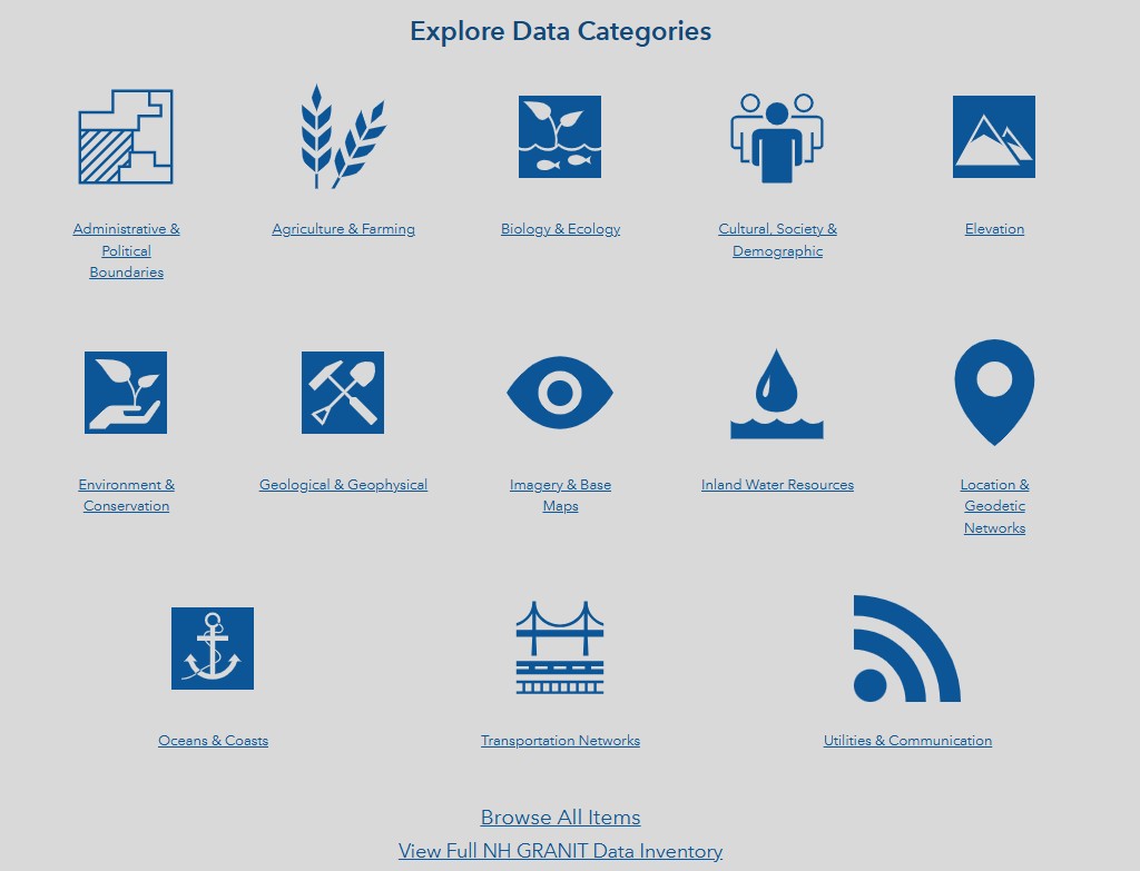
The New Hampshire Geodata Portal, developed by the NH GRANIT Clearinghouse at the University of New Hampshire, facilitates the discovery and use of authoritative GIS data, web applications, and related geospatial resources for New Hampshire. It includes many data categories, such as administrative and political boundaries, water resources, agriculture and farming, and transportation networks, among others. State agencies are also partners in NH Granite, including the Department of Environmental Services, Department of Transportation, Fish and Game, Natural and Cultural Resources, and Office of Planning and Development.
NH GRANIT allows users to view its information and download its data in a variety of formats.
Click on image to open map