The City of Dover offers online access to City maps and property record cards at http://maps.dover.nh.gov.
Note that static copies of tax maps can be found here.
By selecting the Themes button, you can choose what data you wish to display on your map. First confirm your inital map, or "Base Theme". You can then display additional mapping information listed below the theme selection. The data's legend is available when a data set is toggled on.
Here are two examples of how the view can be customized:
| Ward Map with Polling Places | Street Map with Trash Collection Days |
 |  |
By selecting the "Search Properties" button, you can enter a street number and name or owner name to find a specific property. Alternatively, you can locate the same property by navigating the map. Clicking on the property will display a brief subset of information for the property. Select "Property Record Card" for more detailed information.

A complete list of class and use code descriptions can be viewed here. A list of sketch code descriptions can be viewed here.
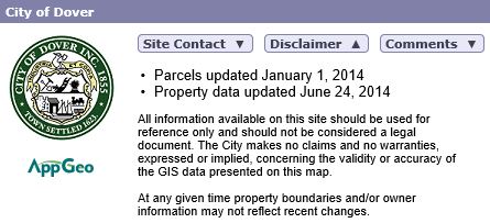
Please review the disclaimer in full. The Tax Assessment Office updates the Property Record Cards (PRCs) annually. This date is noted in each property record card. Mapping information is also updated annually. The Planning Department maintains an online list of parcel adjustments since last map update, Lots Subdivided or Adjusted 2016. Most information shown in the property information ("Property Info") window is updated nightly. If you note a difference in zoning or other information between the property information window and property record card, please contact our Planning Department or Tax Assessment Office. If you have questions regarding Election Information, please contact our City Clerk - Tax Collection Office.